MyRTK Field Collection Software
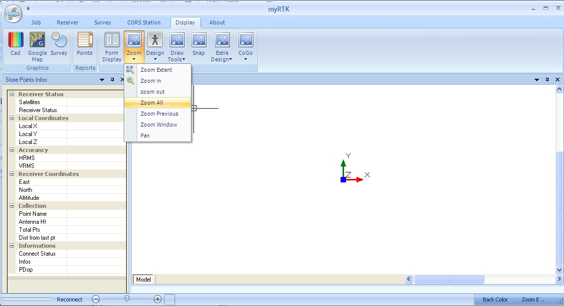
MyRTK is a very advance Software for RTK collection Field data. Easy to use with a Ribbon Style menu and based on Win XP/Vista/7/8 envoroment makes user to work in open and fast way.
Loading DXF/ DWG files, with many CAD operations (oSnap, draw lines, circles,arcs etc) . Supporting wide range of receivers !
Display in Real Time on user selected maps the survey collected points .
Voice warnings, Color Display the Solution Changes is some of the futures of the software
Download Demo : link
Supported Receivers :
STONEX :
S9GNSS ver III/PLUS, S8 / S8PLUS , S82 orion
Novatel
OEM4/OEMV/OEM6
ComNav
T300, K500,K501,K508
AsTech
Promark 500
SOUTH
S82,S82-2008,S82-V, S86, S86 PLUS
GEOMAX
Zenith 10/20
PREXISO
G4/G5
Septentrio
AsterXm
NORTH
SmaRTK
Download Demo Link.
Oct 8-10,10 2012 Essen
Intergeo 9-11/Oct Hall 3, c3.017
Oct 9, 2012
Intergeo 9-11/Oct Hall 9, Stand G19
Oct 3, 2012
Software NTrip Casting
Client Connection, Rinex Distribution
Oct 3, 2012
Precise and easy to work
H CivilShop LTD is certified EN ISO 9001:2008
Lamia 35100 Greece
Phone. +30 2231500184
Fax. +30 22310 53046